More Blog Posts
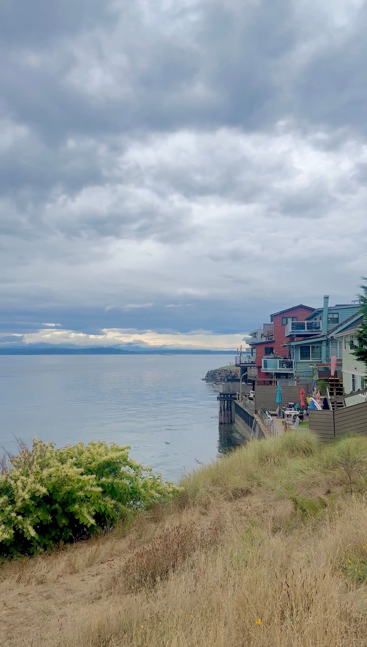
Stand at the top of Myrtle Reservoir Park on a clear day and you can trace the outline of nearly every hill in Seattle. There's a low stone marker near the summit, part sundial and part geography lesson, that points out the city's other high points and lists their elevations next to Gatewood's own. Most people who make the walk read the marker, take in the Olympics and the skyline, and head back down the same way they came. Almost none of them walk two blocks the other direction, where something far rarer than a view has been quietly growing since before most of the surrounding houses were built.
That's the part of Gatewood that gets skipped, and it's the part worth explaining.
Myrtle Reservoir Park sits on the site of a lidded city reservoir, at roughly 520 feet of elevation, and it holds the distinction of being the highest point in Seattle. According to a 2014 account in Paul Dorpat's Seattle Now & Then column, the true summit, an unmarked spot in the alley between 35th and 36th Avenues Southwest near the water department's standpipes, sits closer to 522 feet, more than fifty feet higher than the top of Queen Anne Hill. That's a bigger gap than the postcard views suggest. Queen Anne gets the reputation. Gatewood has the actual number.
The park itself was built as part of a citywide program that put open space on top of covered reservoirs, the same program that gave Capitol Hill its Cal Anderson Park and Beacon Hill its Jefferson Park. Gatewood's version comes with an open lawn, a playground split into zones for younger and older kids, and that elevation marker at the summit. It's a fine place to let a dog run or watch the ferries cross the Sound. But it is not, ecologically speaking, the most interesting thing in the neighborhood.
Head southwest from the reservoir, toward 38th Avenue Southwest, and the ground drops into Orchard Street Ravine, a 2.2-acre bowl of forest wedged between backyards. Seattle Parks bought the land in 1993 through the county's Conservation Futures program, a deal the city's own vegetation management plan describes as a win-win between a willing seller and the parks department's open space program. It has stayed largely unmanaged since, which is exactly why it still looks the way it does.
Most of the ravine is a madrone and Douglas fir forest, growing on the steep west and southwest-facing slopes that make the site feel more like a fold in the landscape than a city park. That combination of trees, according to the same management plan, is scarce inside Seattle's park system. Of roughly 2,700 surveyed acres of Seattle Parks' urban forest, only about 52 acres contain that same madrone-Douglas fir mix. Orchard Street Ravine is one of the small handful of places holding onto it.
Put another way: Gatewood's famous elevation is shared, in spirit if not in exact feet, by half a dozen hills around the city. Its forest type is not. You could walk every other reservoir-turned-park in Seattle and not find what grows two blocks from this one.
The lower, flatter portion of the ravine tells a different story. It's dense with blackberry, the kind of thicket that swallows a fence line by midsummer. Late August is peak season for it. If you've lived in Gatewood for more than one summer, you already know which corner of the ravine to hit first and which stretch is picked clean by the second week of the month. If you're newer to the block, this is the week to find out.
The two sites are close enough that most residents have made the trip between them without realizing it was a single, deliberate loop. Here's the version that actually strings it together:
It's a short walk by West Seattle standards, but it covers more ecological range than almost any other loop in the neighborhood, from a reservoir lawn to a rare native forest to a residential street in the space of a few blocks.
California Avenue Southwest through Gatewood isn't a destination strip the way the Junction is a few blocks north, and that's part of its appeal. It's a short run of businesses that mostly serve the people who already live within walking distance. Caffe Ladro, a Seattle coffee institution since 1994, has a location here. If you're finishing the loop later in the day, The Westy Sports and Spirits has the kind of menu built for watching a game, and The Locol Kitchen & Bar runs live music nights that turn a Tuesday into something worth staying out for.
None of this is written for someone deciding whether to move to Gatewood. It's written for the people already here, the ones who've walked past the reservoir marker a hundred times without knowing what it's actually measuring, or past the ravine trailhead without knowing what's growing on the other side of the fence line.
If you want a sense of what actually holds this neighborhood together, skip the park brochures and look at Gatewood Elementary's Gator Fair instead. Now in its fourth year, the carnival-style festival is run entirely by the school's PTA and volunteers, with game booths, a visit from a Seattle Fire engine when the crew isn't pulled away, and prizes that the PTA saves up all year, dentist-office toys and McDonald's Happy Meal trinkets included. It's a small, specific, homegrown event, and it says more about how Gatewood functions as a community than any citywide superlative could.
That's the pattern here. The neighborhood's real character isn't the highest point in Seattle or the fact that gets repeated on every generic guide. It's the rare forest two blocks from that high point, the blackberries nobody advertises, and the elementary school carnival that's been running for four years because the same volunteers keep showing up. The version of Gatewood worth knowing is the one that requires you to actually walk the two blocks most people skip.
If you're thinking about what a home in a neighborhood like this is actually worth, or you're weighing a move within West Seattle and want someone who knows which two blocks matter, Mara Haveson has spent years working this hillside and can walk you through it in more than the metaphorical sense. Schedule a consultation when you're ready to talk specifics.
Address
4531 California Ave., SW
Seattle, WA 98116
Mara Haveson