More Blog Posts
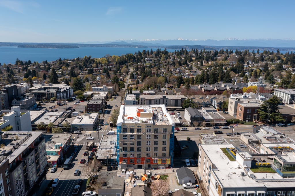
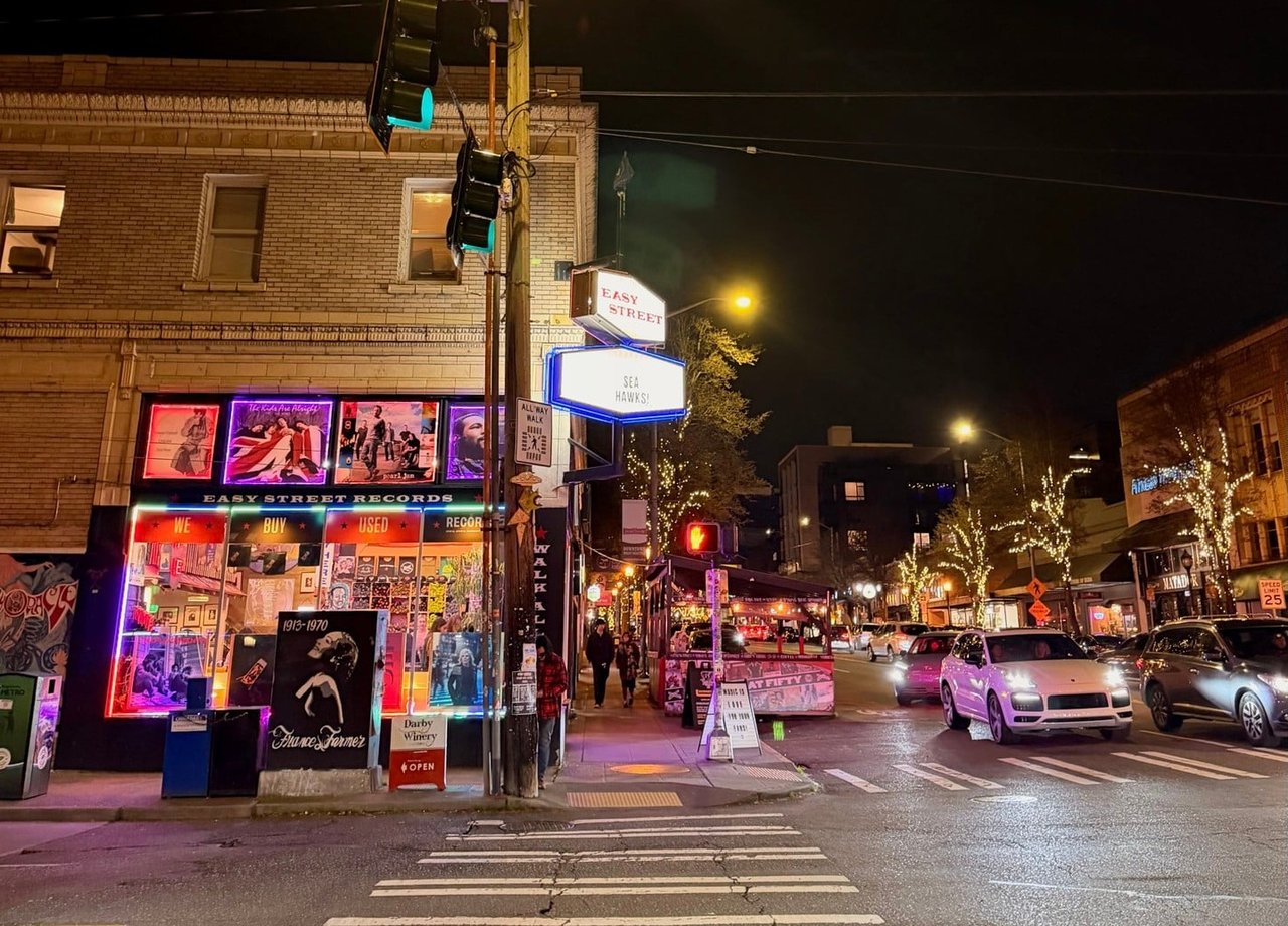
If you live on the North Admiral bluff, you already know the Hamilton Viewpoint sunset shot. It shows up in every guide to West Seattle, and it deserves the attention. But the view is not really the story of this neighborhood. The story is what happens when you stop treating Hamilton Viewpoint as a destination and start treating it as the first waypoint on a walking loop that ends in an old-growth ravine most of your neighbors have never set foot in.
North Admiral rewards residents who move through it slowly. Between the formal viewpoint at the north end and the Schmitz Preserve trailhead off SW Admiral Way, there is a stretch of side streets, informal overlooks, and forest that hangs together as one route, if you know where to turn. This is that route, with the summer 2026 texture that makes it worth doing this weekend rather than someday.
Hamilton Viewpoint Park is bigger than it looks from the overlook. The park covers 16.9 acres, was acquired by the city in 1914, and became a park four years later; it is named for Rupert L. Hamilton, a figure in the West Seattle community who helped establish it. Most visitors treat it as a pull-off, which is why the actual overlook can feel busy on a clear July evening while the rest of the parcel sits empty a hundred feet away.
If you are walking rather than driving, the standard approach up California Way SW is the wrong one. Come in from the top of the hill along California Avenue SW, cross into the park from the south lawn, and you get the skyline reveal without the parked-car foreground. This is also the entry point for the last Admiral Music in the Parks concert of the summer. At 6:30 PM on July 30, Hamilton Viewpoint hosts the AMP closer with Driftwood Drive playing hits from the 70s, 80s, and 90s. Bring a low chair. The grass runs out fast.
Between Hamilton Viewpoint and the Schmitz trailhead, there is a walkable spine along the top of the ridge that almost nobody treats as a walking route. It threads Sunset Avenue SW, Bonair Drive SW, and the narrow section of SW Massachusetts Street that connects them. The reward is a series of peek-through views between houses toward the Olympics, and a much quieter afternoon than California Avenue offers on the same day.
For context, here is how the two viewpoint experiences compare in practice:
| Hamilton Viewpoint | Sunset/Bonair back streets | |
|---|---|---|
| Orientation | East toward downtown | West toward the Olympics |
| Best light | Golden hour and after | Early afternoon |
| Foot traffic on a July weekend | Steady | Rare |
| Photography surface | Fenced overlook | Between-houses framing |
| Amenities | Benches, lawn, parking | None |
The value of the back-street stretch is not that it competes with Hamilton. It is that it flips the direction you are looking, which is something almost no formal viewpoint in North Admiral does.
The transition from ridge to ravine is abrupt. Once you reach SW Admiral Way and drop south past 53rd Ave SW, you are at the Schmitz Preserve trailhead, and the neighborhood changes character within about a hundred feet.
Schmitz Preserve was formed from 53.1 acres of land donated to the city between 1908 and 1912, before the area had been completely logged, with the largest parcel donated by German immigrants Ferdinand and Emma Schmitz. That timing is the whole point. Most Seattle parks were assembled after the surrounding forest was already gone. Schmitz was set aside during the logging, which is why you can still find what you find here.
Some huge stumps in the park still show deep notches hacked high above the ground for the "spring-boards" on which axe men would stand to avoid having to chop through the lower root crown, the thickest and hardest part of the tree.
The trail system inside the park is short by hiking standards and generous by urban standards. Official park hours are daily, 6 a.m. to 10 p.m., and the park offers 1.7 miles of hiking trails. The Washington Trails Association route notes are worth reading before your first visit, because the interior is deliberately under-signed. Bring shoes you do not mind muddying, especially in the first quarter mile along Schmitz Park Creek.
Two practical notes for residents who have not been recently:
A walk earns its landing. Before or after the loop, there are three current-summer specifics on California Avenue SW worth knowing, all fresh enough that they change the routine for residents who have been away for a few months.
If you want to do the whole thing in one outing, here is the route in order, sized for a two to three hour morning with coffee stops:
The whole thing is roughly three miles of walking with one meaningful climb, and it strings together the two most defining pieces of North Admiral geography, the bluff and the ravine, in a single morning.
North Admiral gets described as a ridge with a viewpoint, which undersells it. It is a ridge with a viewpoint, a set of informal Olympics-facing overlooks the guides do not name, and a piece of Puget Sound forest that predates the neighborhood around it. Most residents have done these three pieces separately. Doing them as one walk changes the way the neighborhood feels underfoot, and it is the fastest way to remember why you chose to live up here in the first place.
If you are thinking about whether the house you own on this ridge still fits the life you actually want, or whether the North Admiral house you have been watching from a distance is worth a closer look, that is a conversation Mara Haveson has often. Schedule a Consultation when you are ready.
Address
4531 California Ave., SW
Seattle, WA 98116
Mara Haveson